














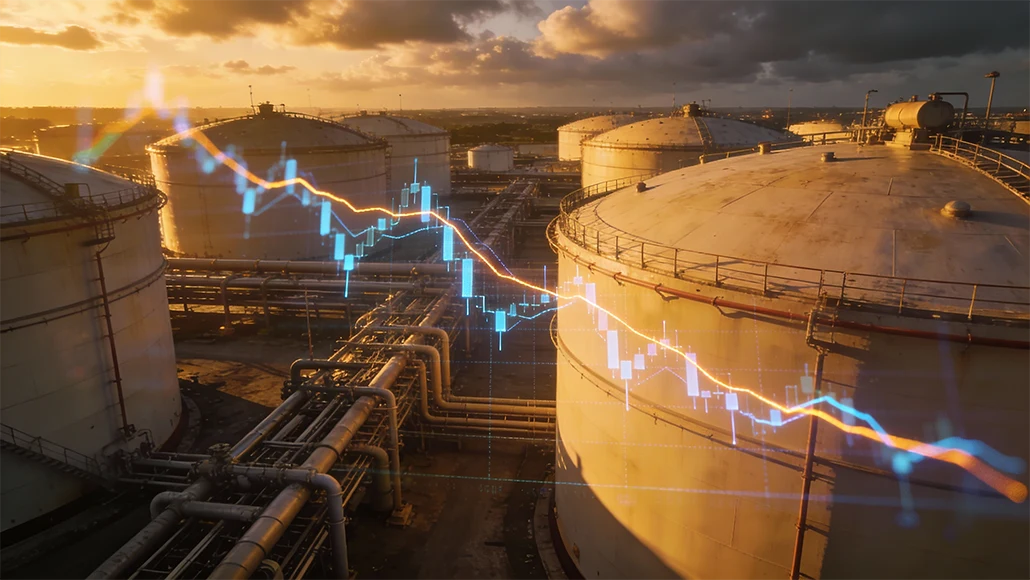
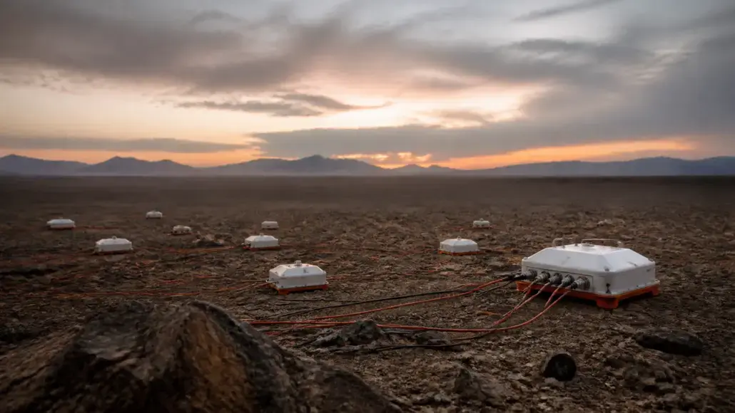
The search for energy has always been a battle against the opaque nature of the Earth’s crust. For over a century, seismic reflection has been the primary weapon in the explorer’s arsenal, using sound waves to map the structure of the subsurface. However, seismic data has a significant limitation: it is excellent at identifying geological structures but often struggles to distinguish between a rock formation filled with salt water and one filled with hydrocarbons. This is where electromagnetic technologies come into play. Oil & Gas Advancement notes that by measuring the electrical resistivity of the Earth’s layers, these technologies provide a vital piece of the puzzle that seismic cannot—a direct indication of the fluids contained within the rocks.
Hydrocarbons, particularly oil and gas, are highly resistive compared to the surrounding rocks and the brine-saturated sands that typically house them. Electromagnetic technologies exploit this difference by inducing electrical currents into the ground and measuring the resulting electromagnetic field at the surface or the seafloor. This approach, often referred to as Controlled-Source Electromagnetic (CSEM) or Magnetotellurics (MT), allows geophysicists to identify high-resistivity anomalies that may indicate the presence of significant oil reserves. When combined with seismic data, EM technologies provide a multi-physics approach that dramatically increases the probability of success for exploration wells.
Advancing Subsurface Imaging and Resource Detection
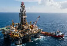
The application of electromagnetic technologies is particularly potent in deepwater environments. In these settings, the cost of a single exploration well can exceed $100 million, making the dry hole a catastrophic financial outcome. CSEM has become a standard tool for de-risking these prospects. By towing a powerful electromagnetic source near the seafloor and placing a grid of receivers on the bottom, companies can create a resistivity map of the subsurface. Electromagnetic Exploration Technologies can detect deep-seated resistive bodies that correlate with potential gas reserves, helping geologists decide whether a seismic lead is worth the multi-million dollar investment of drilling.
The integration of EM with geological mapping is not just about finding the oil; it’s about understanding the entire basin. For example, Magnetotellurics, which uses naturally occurring electromagnetic fields from the atmosphere and space, can image deeply buried structures that seismic waves cannot reach. This is especially useful for mapping the thickness of sedimentary basins or identifying basement structures that control oil migration. Electromagnetic technologies provide a big picture view of the subsurface that complements the detailed, structural view of seismic. This holistic understanding is essential for regional exploration and for identifying new frontiers where traditional methods have failed.
The Synergy of Multi-Physics and Integrated Data Analysis
One of the most important trends in the industry is the move toward integrated subsurface imaging. Rather than looking at seismic or electromagnetic data in isolation, companies are now performing joint inversions. In this process, both datasets are fed into a single mathematical model that finds a solution consistent with both the acoustic and electrical properties of the Earth. Electromagnetic technologies play a crucial role in this synergy. By constraining the seismic model with resistivity data, geophysicists can more accurately map the boundaries of salt bodies or identify the saturation levels of a reservoir.
This integrated approach is also being applied to the monitoring of existing fields. As oil is extracted and replaced with water or gas, the resistivity of the reservoir changes. Electromagnetic technologies can be used to monitor these fluid movements over time, providing a 4D view of the reservoir’s behavior. This is particularly useful for enhanced oil recovery (EOR) projects, where understanding the sweep efficiency of injected fluids is critical to maximizing production. By providing a direct window into fluid saturation, EM technologies help operators manage their resources more effectively and reduce the environmental footprint of their operations.
Technical Challenges and Limitations of EM Imaging
While the benefits are significant, electromagnetic technologies also face several technical challenges. One of the main limitations is resolution. EM waves have much longer wavelengths than seismic waves, which means they cannot resolve fine structural details. An EM anomaly might tell you that oil is present, but it won’t tell you the exact shape of the reservoir or the location of small faults. Furthermore, EM data is highly sensitive to the presence of metallic infrastructure, such as pipelines and well casings, which can distort the signals. This makes it difficult to use EM in mature fields that are already heavily developed.
Another challenge is the depth of investigation. While low-frequency EM waves can penetrate deep into the crust, the signal strength decreases rapidly with depth. In very deep basins, it can be difficult to distinguish a reservoir signature from the background noise. Overcoming these limitations requires the use of extremely sensitive receivers and powerful sources, as well as sophisticated data processing algorithms. Despite these hurdles, the industry continues to push the boundaries of electromagnetic technologies because the information they provide—direct fluid detection—is so uniquely valuable in the quest to reduce exploration risk.
Emerging Frontiers and Technological Innovations
Looking forward, the future of electromagnetic technologies lies in the combination of massive data acquisition and advanced analytics. As we collect more EM data, we can train AI models to recognize the characteristic resistivity signatures of different types of oil and gas reserves. This intelligent detection will further reduce the uncertainty of exploration and open up prospects that were previously too complex to interpret. By continuing to innovate at the intersection of physics and data science, the energy industry is ensuring that it has the tools needed to find the resources of tomorrow.
The next generation of EM tools will likely be even more compact and portable, allowing for their use in a wider range of environments, from the arctic to the deep ocean. We may also see the development of borehole-to-surface EM, where sources are placed in the well and receivers on the surface, providing a high-resolution view of the area surrounding the wellbore.
Strategic Future: Electromagnetic Intelligence and the Integrated Earth Model
As we look toward the mid-21st century, the strategic value of electromagnetic technologies will be defined by their role in the integrated Earth model. This is a master digital representation of the planet’s subsurface that is continuously updated with data from every available source. EM technologies will provide the essential fluid saturation layer of this model, allowing geoscientists to see not just where the rocks are, but what is inside them. This holistic view will be critical for managing the complex multi-commodity reservoirs of the future, where oil, gas, and geothermal heat are all produced simultaneously from the same geological structure.
Furthermore, the environmental benefits of EM technology will become increasingly prominent. By providing a direct way to find oil without drilling unnecessary wells, electromagnetic technologies help minimize the physical and ecological footprint of exploration. This is particularly important in sensitive environments like the arctic or the deep ocean, where any surface disturbance must be kept to an absolute minimum. By reducing the number of dry holes drilled, EM technology directly contributes to a more sustainable exploration lifecycle. This surgical approach to resource detection is exactly what the industry needs to align its operations with global climate goals and societal expectations.
Oil & Gas Advancement believes that as the industry moves toward minimal-impact exploration, the use of non-invasive electromagnetic surveys will become the gold standard. By integrating these emerging technologies into the exploration workflow, the industry is building a more complete and accurate picture of the Earth’s subsurface. Electromagnetic technologies have moved from being an emerging tool to a foundational component of modern energy discovery. The journey from hearing the Earth with seismic to seeing its electrical nature with EM is the hallmark of the modern geoscientific revolution. This multi-physics perspective is what will allow us to navigate the complexities of the subsurface with a level of confidence that was once thought impossible.
The explorer of tomorrow will see the Earth in all its dimensions, from the acoustic to the electromagnetic. This multi-layered perspective is the ultimate defense against the uncertainty of the subsurface. It allows geoscientists to move beyond simple structural mapping and toward a true understanding of the Earth’s fluid systems. By embracing the power of electromagnetic sensing, the energy industry is not just improving its discovery rates. It is fundamentally evolving its ability to manage the planet’s resources with wisdom and precision. The journey from discovery to production has never been more scientifically robust.
